Guess what? We get our gas pumped and windows washed in Oregon. Getting spoiled.
 Nice display of our flag.
 The view point sign.
  This was interesting to see. The two rivers meet here and they have had quite some floods in the past. The water would be up over the sign and it is quite a way down to the rivers from here.
 The water is so clear.
 In the afternoons this is a good swimming hole also.
 Pat is enjoying the wild flowers along the path.
 A short story of when this area was flooded in 1964.
 Driving up the canyon, a river flows beside the highway, many fishermen also.
 The beginning of a trail that we hiked about almost a mile to get to the falls. Info sign for the next few pics.
 A large Laurel Tree that has fallen.
 "X" marks the spot.
 A fallen tree that they made into a bench if you needed to stop and rest.
 We made the hike OK to the falls.
 Another nice waterfall we saw.
 Also up at the waterfall look what I found.
 Remember, this was a one mile hike to get here also.
 We could have crossed the bridge and went another 1/2 mile but we elected not to do that.
 Now to another trail to another waterfall.
 This one is a bit more of a challenge we think.
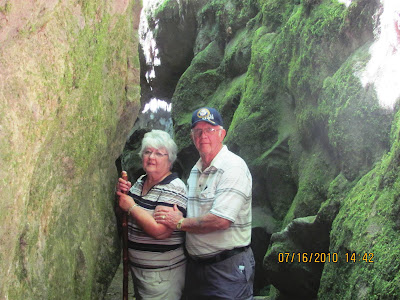
 The hike was interesting, it went though a couple of boulders.
 And then a large rock and a tree.
 As you can see we are going higher also.
 A rather large tree that had fallen across the trail they had to cut.
 And higher. This was a steep hike. Close to an elevation climb of about 1,100 ft.
 A small waterfall along the trail.
 Watch your head, there is a tree that is over the trail.


No comments:
Post a Comment